
Last day paddle was a piece of cake k968 to k50, k18, moderately pushy current but no meaningful rapids.

Took out just after k 50 bridge, on left. About 250 miles to La Tuque, a hot shower and dinner at Le Parasol.


.JPG)
.JPG)
.JPG)
.JPG)
.JPG)
.JPG)
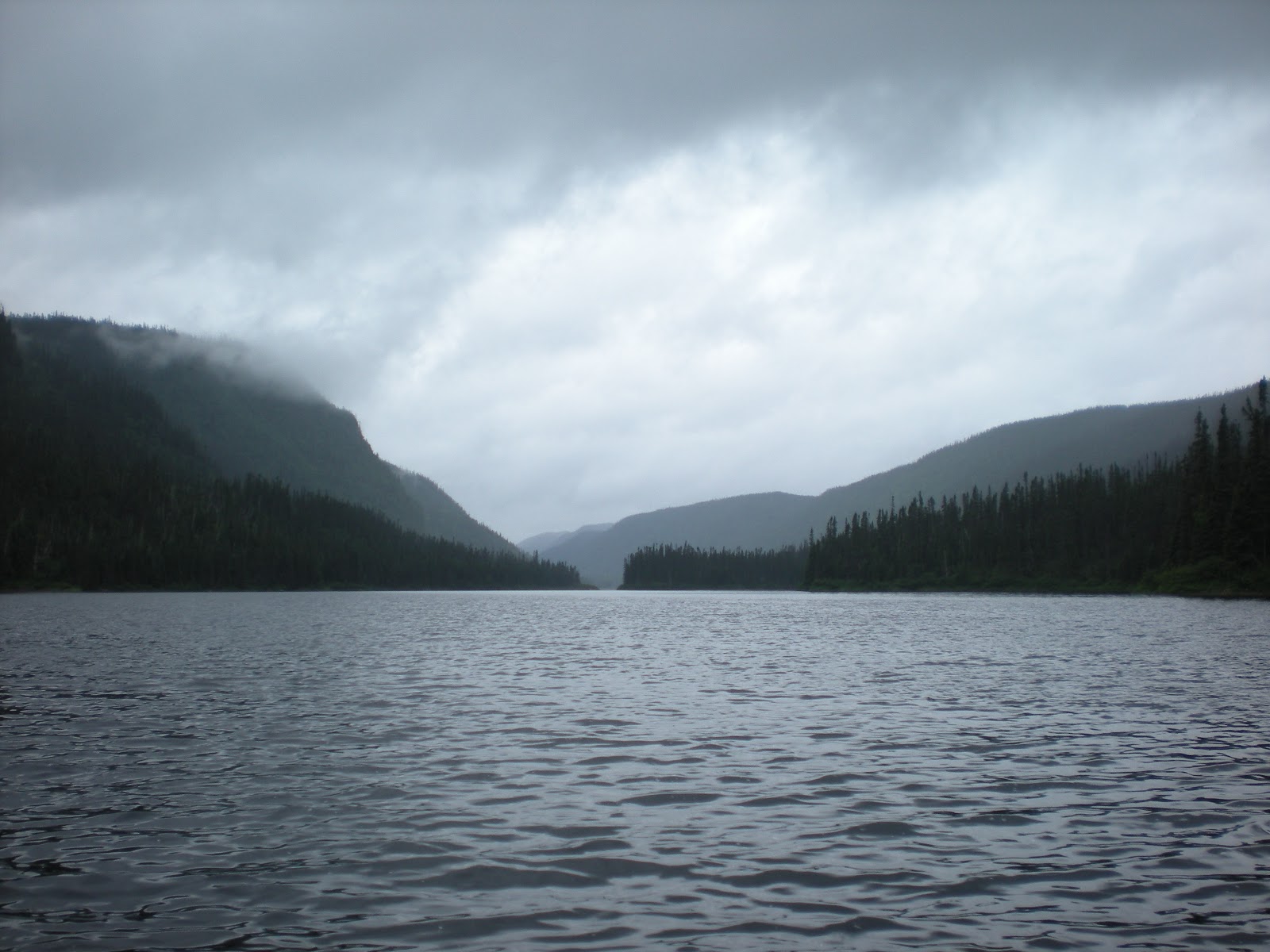
Seems like there is always a tough day and this was it. Lots of flat lake paddling and relentless rain. No rain jacket is 100 percent but fortunately the rain was not cold. Come midday and we are looking for anywhere we could have our hot soup lunch out of the heavy rain and wind. As if answering a prayer, we come across a fishing/hunting camp. If anyone was there we would have asked if we could just shelter for 20 minutes on the screened porch. But no one was about and fortunately the porch was unlocked. Thank you, thank you.
Somewhat fortified, we paddled Lac Pine, which was interesting with many islands. We checked the grasses to make sure we were going with the flow of the water. Ran the rapids at the bridge fine and then started a Class II, III, IV succession of rapids ending with a ledge that came up so fast we had to take it. Scouted and sucessfully ran a Class IV ledge that at first looked impossible but with planning proved a hoot. Checked out the “grand campsite,” (as termed by others at 280 km) and didn’t find it grand at all except that it could accommodate many tents. Poor fireplace. It was still raining so we decided to go a mile and a half to another campsite that was supposed to be at the end of the island on the left. Never .JPG) found a sign of it. But, en route we did see two bull moose. Wonderful peaceful creatures that let us get close since we were so quiet. Also interrupted a beaver who had pulled a fresh branch to the lodge.
found a sign of it. But, en route we did see two bull moose. Wonderful peaceful creatures that let us get close since we were so quiet. Also interrupted a beaver who had pulled a fresh branch to the lodge.
Came to a Class III ledge and started looking for anywhere to camp, briefly considered a sandbar in the rapids but them came across an abandoned site, all overgrown with moss and shrubs but with the vestige of a fire ring. Didn’t really like it but could not get back upstream past the ledge to reexamine where we might have missed the other site. Quickly set up tent on the bushwacked site and cooked on camp stoves, eating on the rocks because there was no place else. Tent was on very lumpy ground but tried to situate bodies to accommodate. A worn-down tree stump makes a pillow if you are tired enough. Rained hard that night but at least we were dry. In the morning we found an inch of water in the drinking cups..JPG)


 Enjoyed the view immensely. Like the rest of the trip, the falls and the river were all ours. We took the portage river left. Some honcho should scout it on the right and see if the drop is runable in an empty boat. This was the longest portage for us so far, a quarter of a mile and the first evidence of ATV activity on the river. Big tires gorged part of the portage and turned it into a quagmire (yuck!).
 At Sharp Rock, aptly named, the rocks are really sharp and the portage narrow. We carried some of the gear to the end of the portage. D
 oug, feeling frisky paddled solo to the right with two duffels. He liked what he saw and joined the ranks of Hap Wilson’s “incorporeal beings” and ran the drop. After the run Trish took a video of the drop on her Nikon.

 falls, sun setting beyond them, was fractured by the vast quantities of detritus, the residue of many drinking parties. Obviously locals on ATVs have a lack of respect for the environment and mother nature’s beauty. What a shame.
Things were getting more exciting. The flat water was behind us and the rapids ahead—with some unexpected twists.

A quarter mile down was Devil Cap Falls, which we scouted from the first rock island on the left. Even though Hap Wilson says it is a mandatory carry, Doug saw a route to line. We pulled out the lining ropes, ran them through the tugeyes and glided the boat down the second chute from the left standing on the dry rock island. Check it out! Look closely at the picture and you will see the lines on the canoe.
![]()
We ran the long Devil Shoepack Rapids, multiple Class IIs with waves. This is the kind of paddling you are rewarded with for slogging it through the flats.
But there was much more excitement to the day.
At Z-Drag Rapids we scouted from the rocks in the middle of the river. It is a Class II ledge and must be scouted to find the line. We decided to run the chute on river right. We were a little lazy on the approach and got into a sideways drift just above the drop. The best maneuver at that point was to run it backwards—with aplomb. What a hoot, Doug says. Trish was totally surprised. However, the outcome was the best— a dry boat. No time for long explanations until campfire time later.Some more swifts kept it interesting but it seemed like miles to the end of Wilson’s Bend and camp. We planned on camping at the “rogue” campsite where the map indicated a road came down to river’s edge. It wasn’t really a discernable road but an overgrown trail.

Thanks to whoever tied blue plastic tape to a branch, Doug’s suspicion was confirmed that we had arrived at the site (which is uphill at bit from the river). Decent enough, better than some official sites but clear water was a hike. Evidence of bears, this time one who ate too many berries.
After a long day, the setup for camp was hampered by annoying and unrelenting black flies; surprising for late September but the day had been warm. We had not brought any bug repellant since we didn’t think we would have a bug population to deal with. So we improvised with mesh net stuff sacks, which were not adequate to keep the persistent, hungry buggers at bay.

Exciting day of just 11 miles paddled.
